Roadtrippin’ the Palouse – A Wanderer’s Guide to the Rolling Hills of Eastern Washington

This was Days 16-20 of a fabulous Fall road trip a couple of years ago. This leg was Seattle to Ellensburg to Pullman, Washington — 289 miles. If you fly, Spokane is the closest airport.

Holiday Inn Express, Pullman, $121/night with a AAA discount + $20/night pet fee. Nice, recently-renovated hotel. Big room; lots of green space to walk the dog, and they don’t mind if you leave the dog in the room (they even give you a tag for the door that says Do Not Disturb/Dog Napping) (love that!). Located close to Washington State University, so be sure to book in advance on football game weekends. This is football country!

I’d wanted to visit The Palouse, famous for its photogenic landscapes, for years and finally made it part of my long roadtrip home (the move from California back to my home state, Missouri).  Most photographers visit in the spring when the rolling hills of eastern Washington are like green velvet, but I think Fall in The Palouse is absolutely gorgeous, in a whole other beautiful way. I was there towards the end of October, long after the wheat harvest, and I used Pullman as my headquarters and spent 4 days wandering aimlessly around The Palouse, which I highly recommend. If your time is more restricted there are lots of local photographers there who offer photo tours, but I really enjoy wandering.

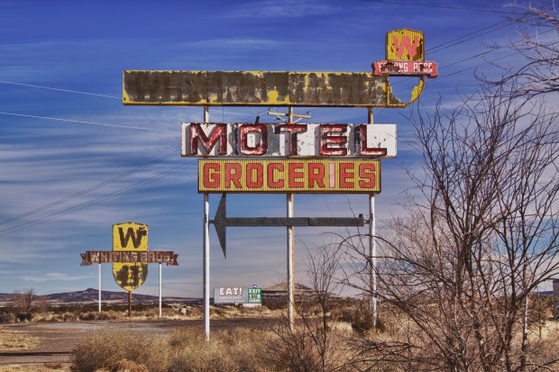
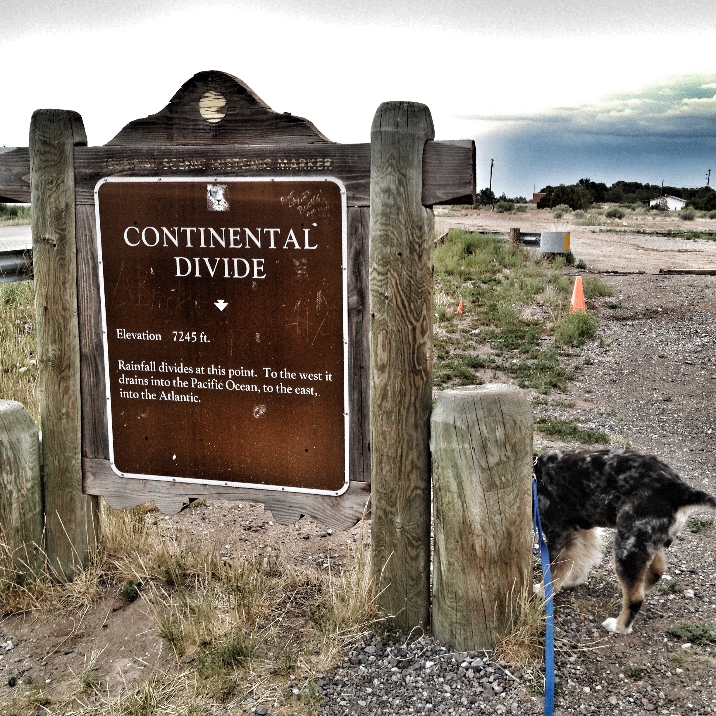
Fair warning: I include a LOT of highway shots from behind the wheel. I do it to remember the journey, and hopefully share the thrill of discovery. You can discover the beautiful red barn when I do, resting peacefully just off the highway in a beautiful field, or perched precariously near the highway curve because it was there long before the highway interrupted.

Continue reading

Advertisement

Day 3 – Albuquerque to Shamrock

375 miles (not enough!)
Gas was $2.49/gallon in Albuquerque

Woke up to snowflakes this morning in Albuquerque, but it was all gone by the time we got outside, so Panda will have to wait to experience snow (probably not too long!). I spent some time in Santa Rosa, New Mexico today, which I missed on last year’s trip. It’s one of those cool historic towns on Route 66 that was bypassed with the building of I-40. It must have been ultra-cool back in the day, with neon lights to rival any town of that size. It’s sad to see the empty buildings languish today.

We’re not going all the way to Chicago, but…Panda don’t care…

Photo by Stephanie Roberts, http://ObsessiveHobbyist.com


One final stop of the day: Cadillac Ranch, the ultimate folk art installation in the middle of a field in the middle of nowhere. The first time I visited this mecca was in the summer and it was crawling with people — hard to get a clear shot of a single car. So it was a special joy to have the whole place to myself today. I’d spent the day listening to a classic rock station from Amarillo, and Keith Richards’ Autobiography, Live, read on Audible by the delicious Johnny Depp. So, I don’t know why, but it seemed fitting that the song playing as I drove away from the Cadillacs was “Free Bird.”

Ended up in Shamrock, Texas. Wanted to keep driving, but there was heavy fog, so we hunkered down in a hotel in the shadow of the historic U Drop Inn.

Photo by Stephanie Roberts, http://ObsessiveHobbyist.com

Colby is not impressed…

20130727-190441.jpg

…and neither was I. It was starting to storm when we pulled in for a quick break before the downpour. Didn’t this used to be a big deal? I remember learning about the Continental Divide in grade school — it’s the divide separating water drainage. To the west, it drains into the Pacific Ocean; to the east it drains into the Gulf of Mexico or the Atlantic Ocean. We stopped here in the 1970’s, on a family trip to California, and I was nerd enough to think this was cool.

Today, not even the sign is maintained, and there is nothing but weeds and abandoned buildings, including an old Stuckey’s, there. That’s sad.

Abandoned…

Photo by Stephanie Roberts, http://ObsessiveHobbyist.com

The road from Flagstaff to Winslow, Arizona is interesting, but depressing. So many of the Route 66 attractions are disintegrating into unsalvageable ruins. It all makes for great photos, but the reality is harsh. Twin Arrows, Two Guns, Meteor City…

TWO GUNS — At one time a campground and zoo where families made memories

TWIN ARROWS — This area is a dichotomy, as much of Route 66 is. The arrows have been repainted and maintained, but the buildings fall down around them. The whole area is surrounded by concrete K-rails at an exit ramp, and I might have been able to climb over them if it wasn’t pouring down rain when I got there. But somehow the rain seemed appropriate.


FOR MORE ARIZONA PHOTOS CLICK HERE

Day 4- The Dichotomy of Winslow

Photo by Stephanie Roberts, http://ObsessiveHobbyist.com

Winslow is probably most famous for its appearance in The Eagles’ big hit, “Takin’ it Easy”…

Standin’ on the corner in Winslow, Arizona, Such a fine site to see…there’s a girl, my Lord, in a flatbed Ford…slowin’ down to take at look at me…

I was feeling sad about Route 66, American poverty, and general neglect as I drove into Winslow,  and I was afraid it would be the same as Two Guns, Twin Arrows, and Meteor City — abandoned, neglected, sad. And much of Winslow is exactly that, and I didn’t go out one time without being approached by a homeless person. But there’s a small area downtown — around the “Standin’ on the Corner” corner —  that’s been revitalized, and a nice walking trail down by the railroad a block away. And, of course, there’s a healthy dose of Route 66 nostalgia thrown in…

Sadly, much of Winslow has been bypassed, neglected, or forgotten…

And, just outside of Winslow, yet another Old Route 66 dead end. I’m surprised that so much of the old route is still drive-able, so I don’t mind the dead ends — at least it’s recognition of the original…

Photo by Stephanie Roberts, http://ObsessiveHobbyist.com

FOR MORE ARIZONA PHOTOS CLICK HERE